NASA and ISRO are celebrating the first anniversary of the NISAR (NASA-ISRO Synthetic Aperture Radar) satellite, launched July 30, 2025, from India's Satish Dhawan Space Centre. As of July 20, calibrated L-band and S-band data from the satellite's dual radar instruments are now freely available to researchers worldwide.
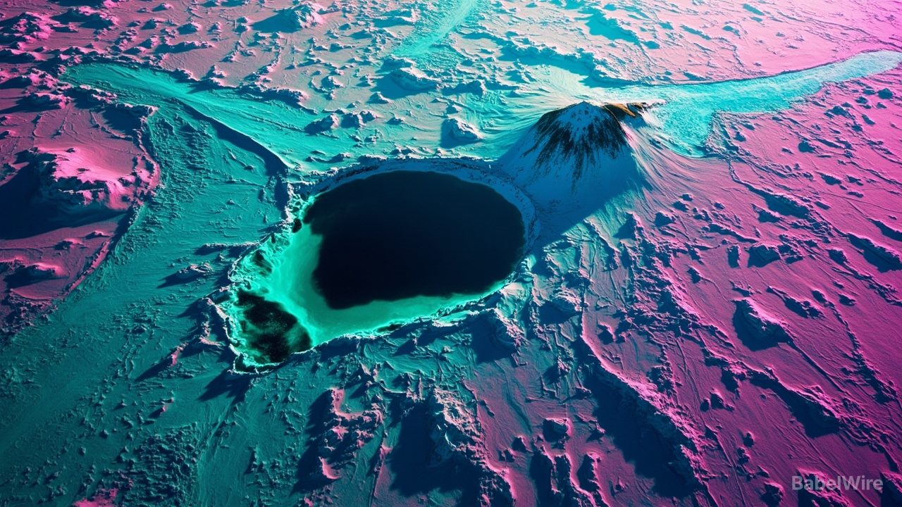
The mission released a striking image of Nunatak Zaterjavshijsja, a mountaintop poking through East Antarctic ice. The fracture patterns and glacier flow around the obstruction bear an uncanny resemblance to a hummingbird — magenta showing smooth ice surfaces, green revealing deep crevasses where radar signals scatter off irregular surfaces, and white indicating areas of equal signal mix.
Unlike optical satellites, NISAR's L-band radar can penetrate snow and ice to reveal subsurface features invisible to visible-light instruments. The satellite scans nearly all of Earth's land and ice-covered surfaces twice every 12 days, producing dozens of terabytes of science data daily — data that will track glacier movement, land subsidence, earthquake deformation, and ecosystem changes.
The data is hosted at the Alaska Satellite Facility and the Indian Bhoonidhi portal. A January release included 25 sample products; a February release delivered thousands of pre-calibrated products. The current continuous release covers all L-band data from June 17 onward, with plans to backfill earlier science data by year's end.