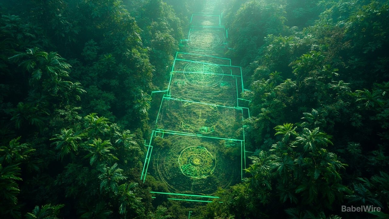
The first hint came more than 20 years ago, when geographer Alceu Ranzi spotted a perfect circle inscribed in the Amazon rainforest from an airplane window. Now, aerial lidar surveys have revealed the scale of what he found: a sprawling ancient civilization that may have housed up to 3 million people in a fraction of the forest previously considered uninhabited.
In a study published in Nature, researchers led by Martti Pärssinen of the University of Helsinki detail nearly 400 previously undocumented earthworks in southwestern Amazonia. Extrapolating to similarly dense zones, the team estimates that more than 20,000 earthworks may remain undiscovered in the region alone — roughly double earlier estimates for the entire Amazon. From AD 100 to 300, the surveyed area, spanning less than 3% of Greater Amazonia, probably supported between 1.25 million and 3 million people, according to a Nature research briefing on the work.
Most of the earthworks are geoglyphs: ditches forming squares, circles, pentagrams and octagons — some combining shapes, such as circles inside perfect squares — that were likely used for ceremonial purposes. Radiocarbon dating places the earliest around 2,500 years ago.
"That old idea of a pristine Amazônia falls apart," Ranzi said. Evidence of Brazil nut trees around the earthworks points to domestication and cultivation, suggesting the Aquiry shaped the forest itself — findings with implications for understanding today's Amazonian soils and even climate modeling. The team removed lidar images of Indigenous territories before making data public, responding to community concerns about sacred sites.
Sources
- science.orgScience.org: Odd shapes hidden in dense Amazon rainforest reveal sprawling ancient civilization
- nature.comNature Research Briefing: Amazonian earthwork survey indicates ancient population was much larger than thought
- phys.orgPhys.org: An ancient civilization of millions once flourished in the Amazon