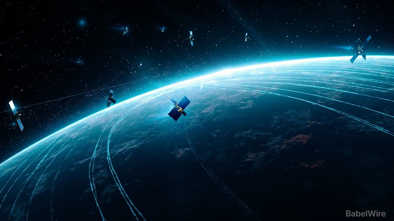
Satellites built to beam internet down to Earth are doing an unexpected second job: acting as thousands of moving sensors for the planet's most elusive atmospheric layer.
A team at Kyoto University used the orbital records of about 1,200 Starlink satellites to produce the first tomographic map of the thermosphere, the thin, electrically neutral shell of atmosphere between roughly 100 and 1,000 kilometers (62–620 miles) altitude. The study, published in the journal Earth, Planets and Space on July 30, reveals how air density at about 482 kilometers (300 miles) up varies from region to region.
The trick relies on drag. Even in what looks like empty low Earth orbit, satellites constantly bump into sparse gas molecules, which slowly robs them of energy and altitude. When the Sun flares or a geomagnetic storm heats and expands the upper atmosphere, that drag spikes — shifting predicted orbits and making collision avoidance harder.
Most previous spacecraft measurements followed a single satellite's path, like learning a landscape by driving down one road. The Kyoto researchers instead treated the whole Starlink constellation as a sensor network, computing each satellite's tiny orbital decay from publicly available ephemeris data and combining the readings with tomography — the same mathematical technique used in medical scans. That produced a two-dimensional map of density across latitude and longitude.
The reconstruction was highly consistent with independent density measurements from the European Space Agency's SWARM satellites, providing a cross-check. The team, led by Mamoru Yamamoto, says future versions could track thermospheric density almost in real time, sharpening space-weather forecasts, refining reentry predictions, and helping operators steer around debris when solar storms strike.
"This is a multidisciplinary study between space science and space engineering," Yamamoto said. "Reading papers from both research fields, we realized that deeper dialogue between researchers from both fields is necessary."