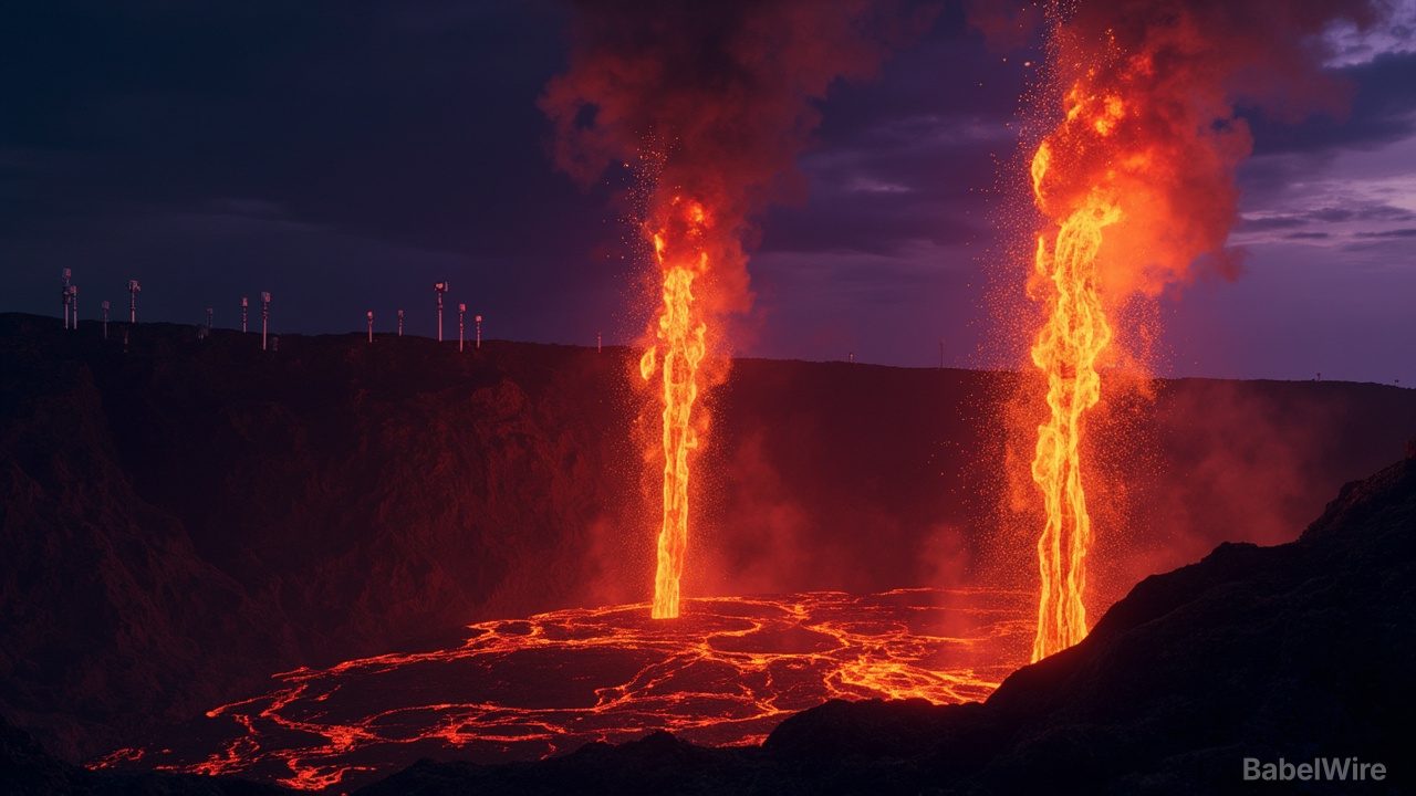
A newly discovered underwater volcanic eruption north of Papua New Guinea is unfolding in one of the world's most poorly mapped ocean basins, and scientists are watching closely to see if a new island is about to be born.
The eruption was first detected on May 8, 2026, when seismometers recorded a small swarm of earthquakes. Within days, a fleet of satellites — NASA's Aqua, Terra, and PACE, the European Space Agency's Sentinel-2, NASA/USGS Landsat 9, and Suomi NPP — confirmed that magma was rising surprisingly close to the surface.
'We're now eagerly waiting to see if a new island is about to be born — something that we've only rarely been able to observe with satellites as it happens,' said Jim Garvin, chief scientist at NASA's Goddard Space Flight Center.
Satellites reveal the eruption
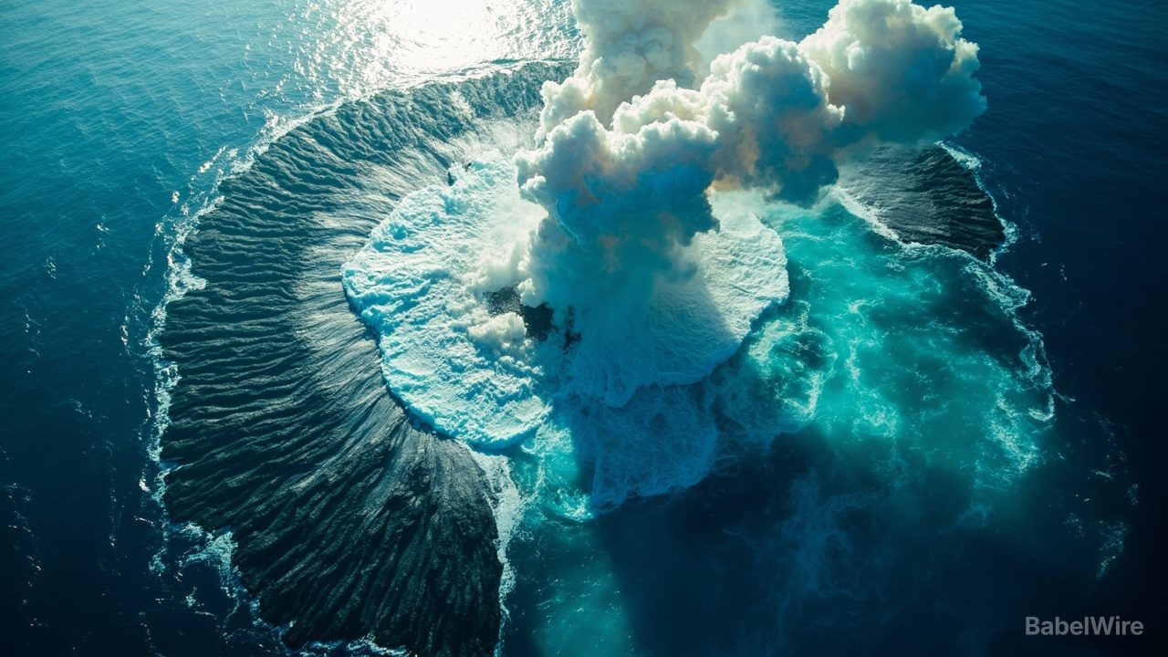
Beginning May 9, NASA's Aqua and Terra satellites captured images of white, steam-rich volcanic plumes rising into the atmosphere. The ocean color sensor aboard NASA's PACE satellite detected large areas of discolored and disturbed water surrounding the eruption site. Ash plumes reached several kilometers into the sky.
By May 12, the VIIRS instrument aboard Suomi NPP identified thermal anomalies covering about seven square kilometers.
'There must be a lot of hot material near the surface to generate so many thermal anomalies,' said Simon Carn, a volcanologist at Michigan Tech. 'This suggests a fairly shallow eruption vent — much shallower than what's implied by the existing bathymetry, which shows water depths of several hundred meters or more.'
**Could a new island be forming?**
Satellite images reveal intense activity at the ocean surface: large plumes of discolored water, numerous steam and ash vents, and expansive pumice rafts — floating volcanic rocks — stretching into long bands carried by surface currents.
If land does emerge above the water, scientists will closely monitor how it develops. The volcano could build a tuff cone with a long-lived vent crater, or the new land could quickly collapse and erode away. There is also the possibility that the eruption could become significantly more explosive if seawater reaches the shallow magma chamber.
Why this eruption may stay relatively mild
So far, the eruption is considerably less explosive than recent submarine eruptions such as Hunga Tonga-Hunga Ha'apai in 2022. Carn noted the eruption is associated with a volcanic ridge near the intersection of a transform fault and a back-arc spreading center, which typically produces less explosive activity than subduction zones.
Scientists do not yet know how long the eruption will continue. A nearby submarine eruption in 1972 lasted only four days, while another event roughly 100 kilometers away in the St. Andrew Strait continued for nearly four years after it began in 1957.
A rare opportunity to study a new island
Garvin plans to use radar data from the NASA-ISRO NISAR satellite and the Canadian Space Agency's RADARSAT Constellation Mission to map any new land that rises above the ocean and measure how its shape changes over time.
If the eruption creates a permanent island, it could become an exceptional natural laboratory. Researchers could study how the new land is colonized by plants and animals, how rainfall and chemical weathering reshape the landscape, and how erosion transforms the island over time — much as scientists did following the Hunga Tonga-Hunga Ha'apai eruption.
'This new eruption could present an even better opportunity for 'island-naut' exploration as we prepare to return to the Moon with women and men via Artemis IV,' Garvin said.