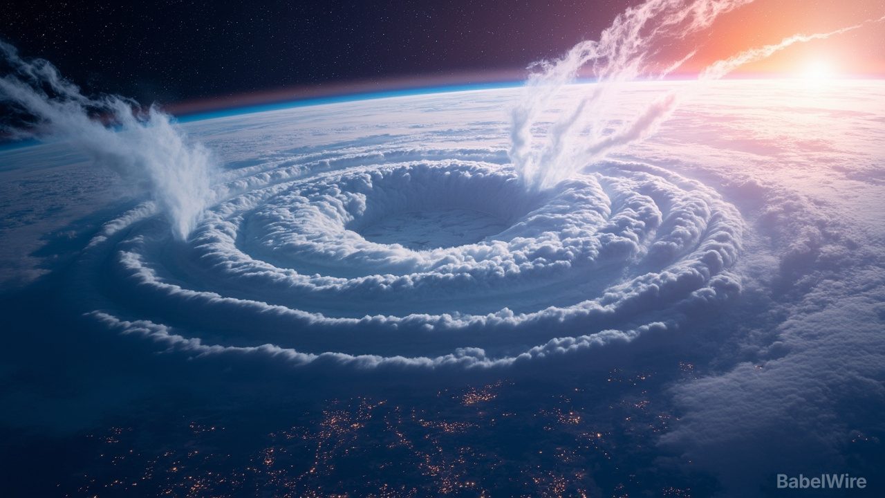
Meteorologists say the stratospheric polar vortex — the ring of strong winds that circulates high above the Arctic each winter, keeping cold air bottled up near the pole — is weakening unusually early this year, possibly the earliest weakening on record. The development has forecasters across the UK and the United States unusually uncertain about how winter will unfold.
The polar vortex is a normal seasonal feature, not a storm. In a strong state it confines frigid Arctic air to high latitudes. When it weakens or is disrupted, that air can spill southward, producing cold outbreaks in the mid-latitudes — the pattern that produced the notorious "polar vortex" cold snaps in North America. The strongest form of disruption is a sudden stratospheric warming (SSW), in which the stratosphere over the pole warms sharply within days and the vortex can split or reverse.
The trouble is that an early weakening does not map cleanly onto what people experience at ground level. Forecasters quoted by the BBC and the Met Office describe genuine uncertainty about the effect on UK weather, because the chain of events from the stratosphere down to the surface — and the timing of any surface impact, which can lag the stratospheric signal by weeks — is hard to predict. A weakened vortex raises the odds of cold spells; it does not guarantee them, and it does not tell you when or where they will land.
The signals are already visible in seasonal outlooks. Long-range forecasts for winter 2026/27 have shifted toward a snowier trend for the United States and flagged a polar-vortex disruption signal for mid-winter, while individual model runs have hinted at a significant US cold snap developing over roughly the next two weeks. Those hints are exactly that — hints. A single model run suggesting cold air in two weeks is far weaker evidence than a coherent, multi-week pattern, and forecasters have been careful to distinguish the two.
For the public, the practical takeaway is a familiar one in long-range forecasting: a rare and notable stratospheric event is underway, it plausibly raises the risk of cold outbreaks later in the season, and the specific weeks, regions and severity remain genuinely open. The next clear signal to watch is whether the weakening progresses into a full sudden stratospheric warming, which would sharpen the outlook considerably. Until then, the honest forecast is a raised probability, not a promise of snow.
Sources
- wired.comThe Polar Vortex Is About to Make Weather Weird From the UK to the US (Wired)
- bbc.comCould the earliest weakening of the polar vortex on record change UK weather? (BBC Weather)
- severe-weather.euNew Winter 2026/2027 Forecast: A Snowier Shift and a Mid-Winter Polar Vortex Risk (Severe Weather Europe)