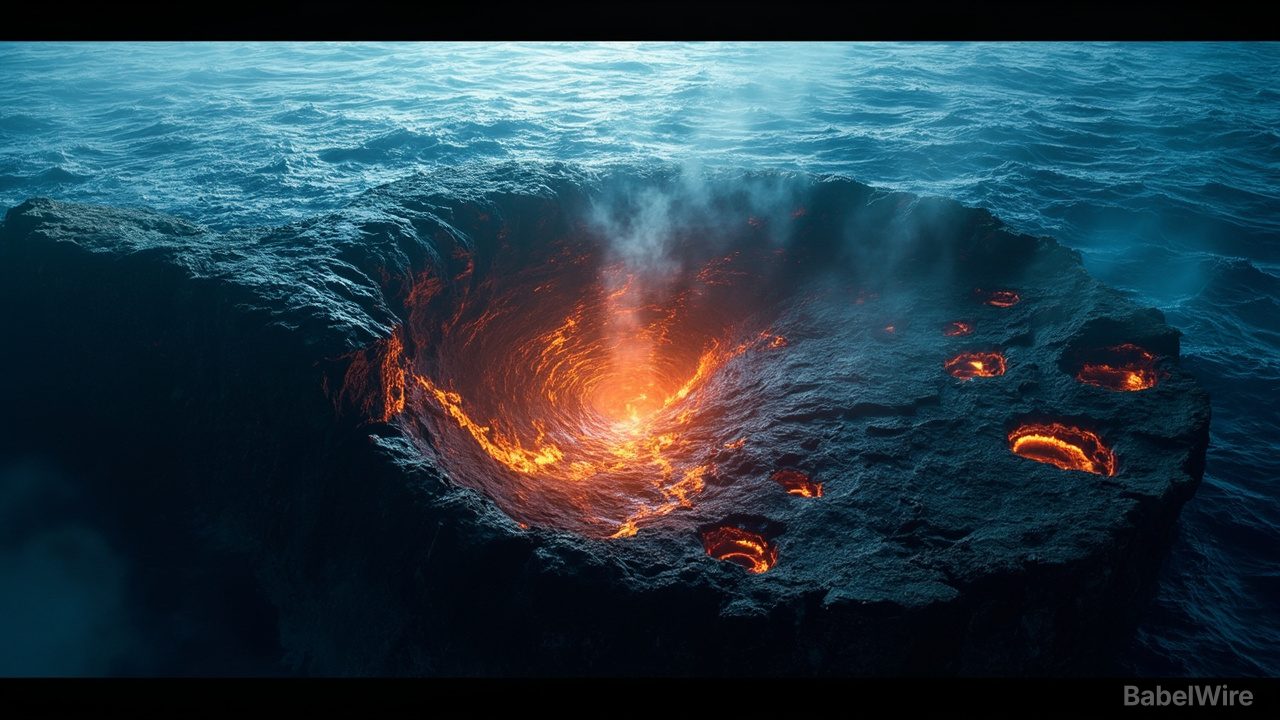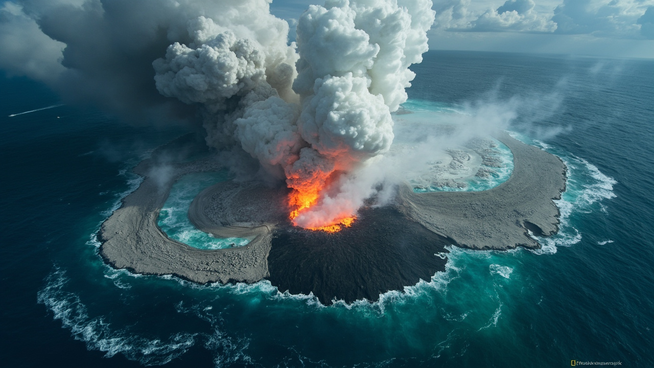
NASA satellites are tracking a rare and dramatic submarine volcanic eruption in the Central Bismarck Sea, north of Papua New Guinea — and scientists say it could give birth to Earth's newest island.
The eruption began on May 8, 2026, when seismometers detected a small cluster of earthquakes along Titan Ridge, about 16 kilometers southeast of a known submarine eruption recorded in 1972. Within days, NASA's Aqua, Terra and PACE satellites, alongside the European Space Agency's Sentinel 2 and NASA/USGS Landsat 9, captured unmistakable signs of a major volcanic event unfolding beneath the waves.
What the satellites see
Satellite observations reveal white, steam-rich volcanic plumes rising into the atmosphere; discolored, chemically disturbed water spread across large areas; ash plumes climbing several kilometers high; and broad pumice rafts — floating volcanic rock — forming long streaks carried by surface currents.
On May 12, the VIIRS instrument on the Suomi NPP satellite detected heat anomalies spread across roughly seven square kilometers, suggesting hot volcanic material is sitting very close to the ocean surface.
'There must be a lot of hot material near the surface to generate so many thermal anomalies,' said Simon Carn, a volcanologist at Michigan Tech. 'This suggests a fairly shallow eruption vent — much shallower than what's implied by the existing bathymetry.'
**A new island?**
'We're now eagerly waiting to see if a new island is about to be born — something that we've only rarely been able to observe with satellites as it happens,' said Jim Garvin, chief scientist at NASA's Goddard Space Flight Center.
If new land emerges, volcanologists will watch closely. It might grow into a tuff cone with a vent crater that lasts for some time, or it could quickly collapse and wear away. The eruption could also become far more explosive if seawater reaches the shallow magma chamber that has pushed up within the growing underwater feature.
A rare natural laboratory
Garvin plans to study radar data from the NASA-ISRO NISAR satellite and the Canadian Space Agency's RADARSAT Constellation Mission to map any new land that appears and track how its shape changes. If a lasting island forms, he sees an opportunity for researchers — or 'island-nauts,' as he calls them — to visit and study how a young island responds to plant and animal colonization, weathering and erosion.
'This new eruption could present an even better opportunity for island-naut exploration as we prepare to return to the Moon via Artemis IV,' Garvin said.
So far, this eruption has been far less explosive than recent submarine events like Hunga Tonga Hunga Ha'apai in 2022, and scientists say it is unlikely to become highly explosive — it is linked to a spreading center rather than a subduction zone. But how long it will continue is anyone's guess. The 1972 eruption in the same region lasted only four days; another about 100 kilometers away in 1957 continued for nearly four years.